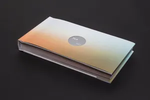
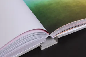
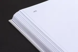
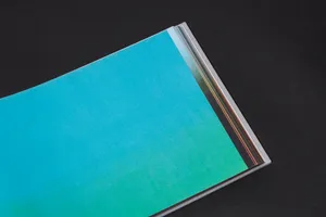
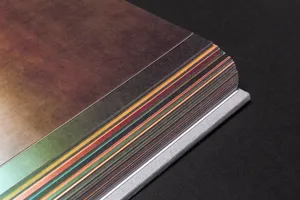
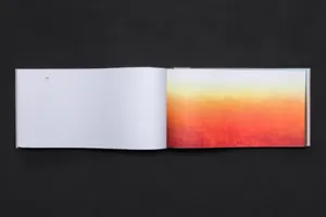
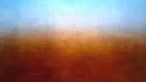
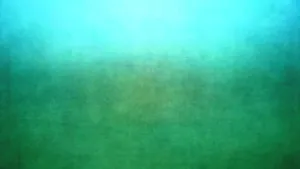
The internet has brought a swift and drastic change in our attitude towards photographs. Thousands of photos are uploaded online every minute, creating considerable visual noise around us. Many of these images are by tourists; they take a shot of a particular spot over and over, with the sheer purpose of having visual proof that they themselves were there. PLA.net is a book that presents the countries of the world with a twist. Unlike conventional atlases, we can’t find any pictures, maps or information about the nations included. It is rather a pool of internet images and representations of these places – the product of an equalising algorithm. This algorithm mines photos which have been uploaded from a given country, with no subsequent editing or intervention. In the end, the assembly of images offer an alternative take on the true character of the countries they signify.
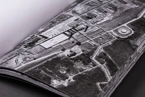
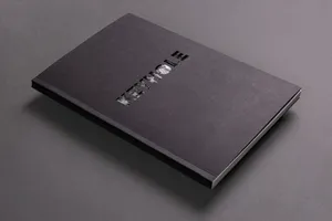
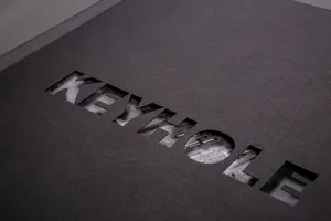
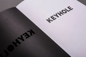
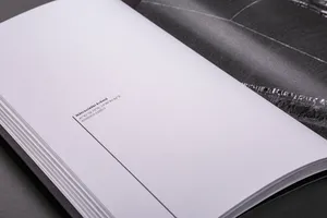
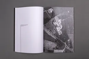
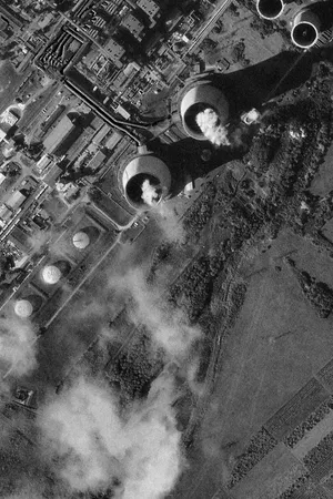
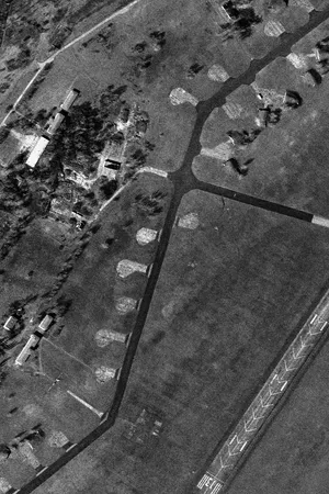
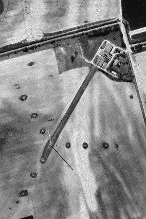
During a workshop on misinformation and fake news, I began to look for photographs whose truth and authenticity could not be questioned. I came across a series of satellite images taken via espionage efforts during the Cold War; their resolution was almost exactly the same as that of today’s publicly available photographs, taken by commercial satellites. In the project Keyhole, I use this strange coincidence to create a fictional story. The resulting photobook contains today’s satellite images that I transformed into black and white through digital post-processing. These ageless images – containing traces of factories, railway stations, railway bridges and sensitive military facilities – easily convince the viewer that they date back to the spy satellites of the 1960s. Through this pseudo-document, my aim is to illustrate the vulnerability of the everyday media consumer.
Richárd Kiss
Richard Kiss (b. 1994) holds a BA in Photography from Budapest Metropolitan University. He is currently an MA student in Photography at the Hungarian University of Agriculture and Life Sciences. As society and visual culture change rapidly, Kiss uses new media to grasp at the essence of our saturated present, focusing on changes triggered by the internet and their effects on contemporary art. In his projects, Kiss often strips photographs of their original contexts and meanings, transforming them into entirely new artworks. Throughout his projects, Kiss seeks to question the relationship between the spectator and artwork and the reasons behind an image’s production, thus making the act of photography a subject of reflection.
Website: kissrichard.com
Instagram: r_ch_k.ss